
Issue #: 153
Published: May / June 2017
- Price per issue - digital : 5.70€Digital magazine
- Price per issue - print : 7.70€Print magazine
- Access to Multihulls World digital archives Digital archives
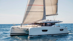
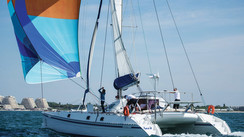
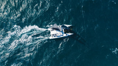
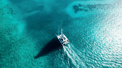
Since they came out, tablets and smart phones have invaded our chart tables, with ever more efficient and convivial apps. But can we cruise long-term with these new instruments, and what are their possibilities and limits for navigation and routing?
Published 21/03/2017
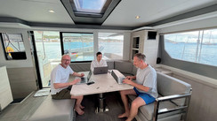
Subscribers OnlyIn 1997, I tried to download an American (but inaccurate) chart onto my Palm, and as my device was devoid of a GPS signal, it never came to anything... In ten years, the dream has become reality, and today, progress allows our smartphones and tablets not only to play the role of GPS/plotter, but also to take control of a multitude of functions, thanks to the new so-called ‘connected’ instruments, with their wi-fi transmissions, as we evoked in the first part of this diagnosis (see Multihulls World n° 152). The feeling of being able to tap your route with your finger or a stylus pen is as pleasing as that of tracing your route in pencil on a chart, and the result, which is displayed instantaneously, as well as the zoom, is exhilarating and condemns cursors from the not-so-distant past to the trash. But although your smartphone may be suitable for short coastal trips, it would be unreasonable to leave for a long trip in the tropical islands with that size screen. Even the small 7-inch tablets are insufficient for using the information correctly. Don’t forget that not so long ago we were working on full-size format (paper) charts. From 10 inches upwards, it becomes possible to read the information clearly, notably the weather files, and at 12 inches, the comfort is comparable to our computer screens, with which we have been used to navigating for some time now. With the dedicated applications, the performance of the most recent tablets is really amazing, even better than what we can do with a computer. But above all it’s their mobility which is their main advantage, and following the boat’s progression from your bunk with just one click, while at the same time reading your latest novel is fantastic! All you have to do then is fit a wi-fi router which will send the connection aboard, whether it comes from an SSB aerial or a satellite system. Here again, it’s best to call on the services of an ‘integrator’, who will adjust the parameters and interface everything with a multiplexer, so you can use all the GPS, radar, AIS, log/sounder, autopilot information via the NMEA bus.
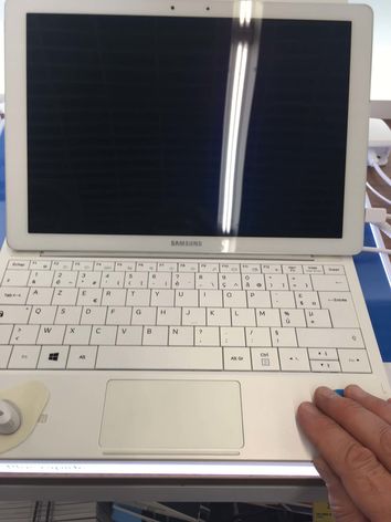
These can be divided into three categories: the normal, simple types eg iPadAir or Samsung. The professional versions from the same brands, equipped with an additional keyboard, which can serve as a laptop, and the laptops whose touch screens can be detached, such as the Microsoft Surface. Finally the so-called ‘waterproof’ tablets, which resist spray, such as the new Sony Xperia and the Fujitsu Arrows. For the first two categories, it is always preferable to use a waterproof protection case if you want to use it in the cockpit. On the other hand, having to remove the case on the pro versions to reconnect the keyboard for office use is a constraint.
Finally, although the waterproof tablets resist spray, they remain exposed to impacts, especially outside, where there are few safe places to put them. A Bumper style protection would seem ...


What readers think
Post a comment
No comments to show.